Thursday, August 15, 2013
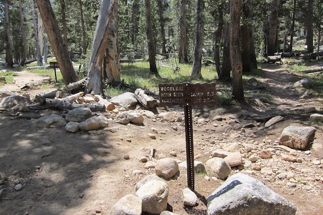
Vogelsang High Sierra Camp-Lyell Canyon Trail
Backpack trip from Tuolumne Meadows
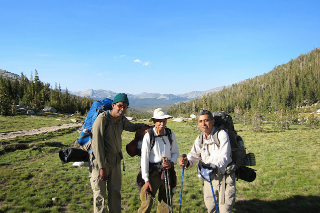
Participants: Sarbajit Ghosal - group leader, Prasenjit Sarkar, Musafir (Rana Sircar)
There are different choices available to backpackers. We decided on the short loop, going up to Vogelsang using Rafferty Creek Trail and then taking the Ireland Lake Trail to return to Tuolumne Meadows trail-head via John Muir Trail (Lyell Canyon Trail)."
See link to Vogelsang High Sierra Trail.
http://www.yosemitepark.com/Files/HSC-Trails-Map.pdf
After spending the first night in Backpackers' Camp at Tuolumne Meadows we drove to the trailhead, parked and began our trek.
Day-time temperatures were moderate during the trip, July 17-21. The nights were cold -- in the 40's.
There were warnings about bears and the need to use bear-proof containers. Use of rope to hang bags of foodstuff from branches of trees was discouraged. We were informed by rangers that it did not deter bears. We observed the rules and had no encounter with bears.
Two of us suffered from altitude problem soon after we began going up John Muir Trail.
No headache or dizziness, but extreme fatigue and thirst which required frequent stops.
Our progress was very slow. This despite the fact that I had taken Acetazolamide to prevent altitude sickness. Later, I found out that I was prescribed 125 mg tablets, not 250 mg which I had had taken on earlier treks. Sarbajit remained unaffected by altitude. But I decided to rest the next day when my companions went to try Vogelsang Peak.
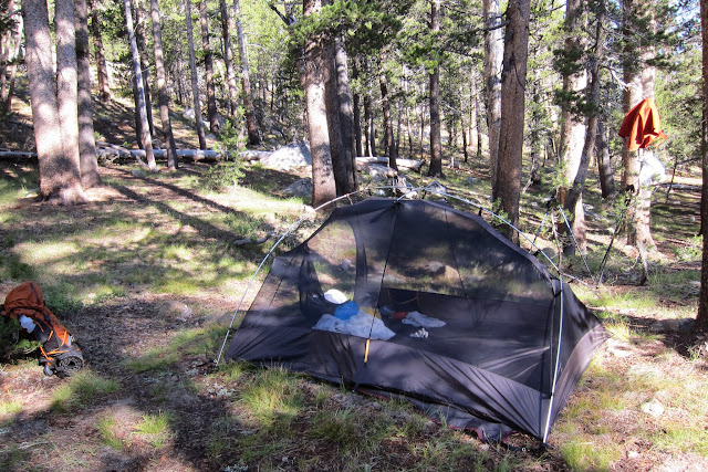
Took us more than 7 hours to reach Vogelsang High Sierra Camp. We pitched our tents
and spent two nights there. Very scenic. Near lakes and surrounded by rocky peaks. We met backpackers who talked about good fishing.
On the 3rd morning we broke camp and headed for Lyell Creek. Except for a steep downhill segment it was an easy hike. The altitude-related fatigue ceased to be a problem
as we descended to lower elevation.
Instead of continuing on to Tuolumne Meadows we decided on camping near the junction of Ireland Lake trail and Lyell Fork. It was a popular spot for campers.
Next morning we headed back to the trailhead and arrived in mid-day. After a brief stop for lunch at Tenaya Lake, we drove to the Bay area, reaching home around 8 PM.
Most of the photographs were taken by Sarbajit Ghosal with a Canon S95.
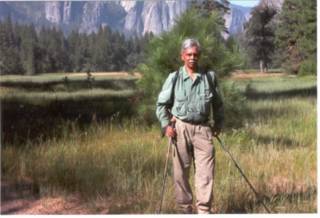
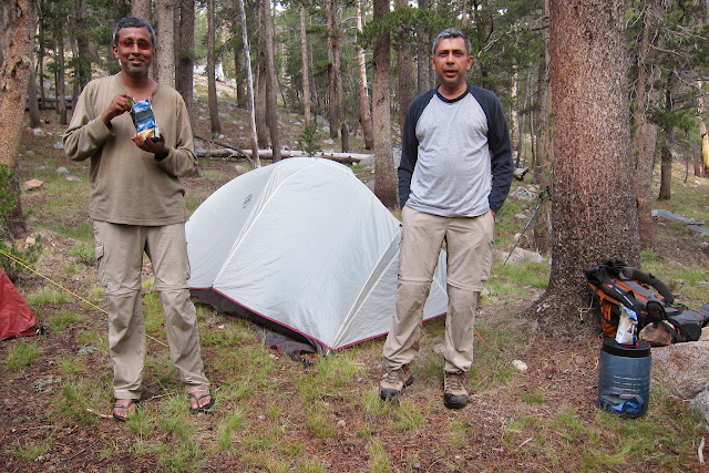
At the trailhead, I

At the trailhead, II

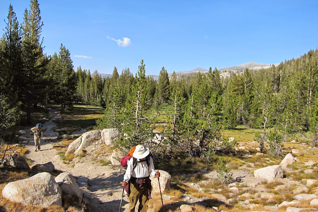
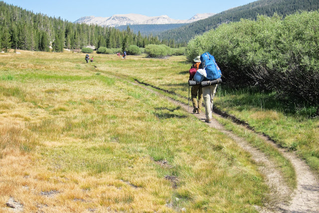
Woman hiker with a good-size pack

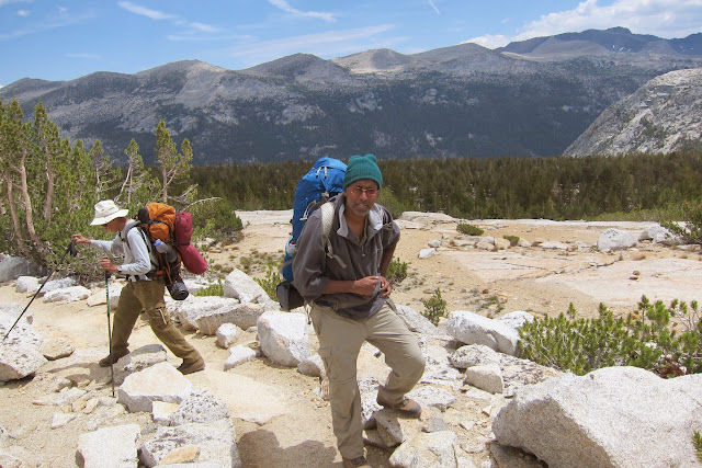
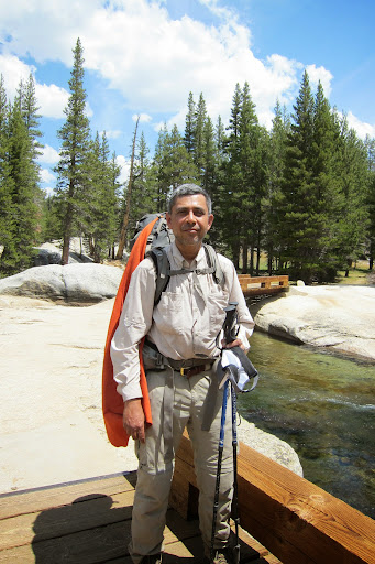
Group leader, SG, checking route

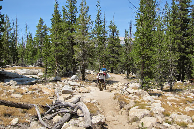
After we take a right at the fork on to Rafferty Creek Trail to Vogelsang, the steady climb starts and lasts for about a couple of miles.
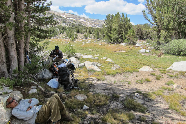
Stopped alongside Rafferty Creek for lunch
Before the fatigue hit us

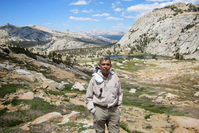
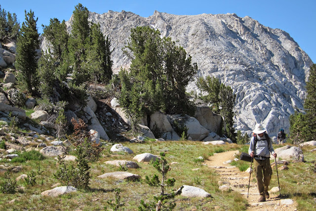
SG at the beginning of the uphill trail
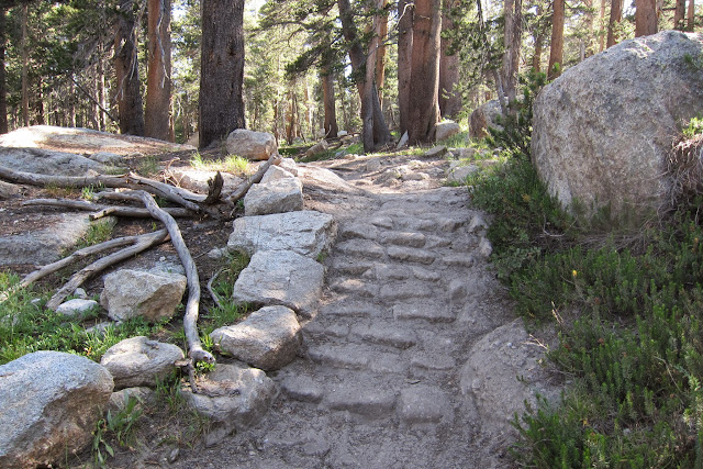
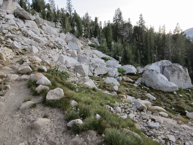
Steps cut into granite
Prasenjit weighed down by pack

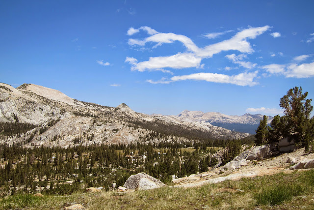
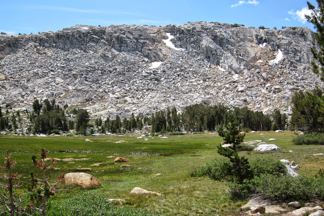
In the eastern horizon are the reddish Mt. Dana, Mt. Gibbs and the whitish Mammoth Peak
Met a family of four with an exchange student and a guide. The mom took our group photo. This is not a route to seek solitude!
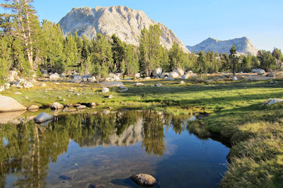
Reflection of Fletcher Peak in a pool at Tuolumne Pass (9992 ft) in the late afternoon sun
The final mile to Vogelsang High Sierra Camp. Rocky but stretches of whitebark pines and lodgepole pines
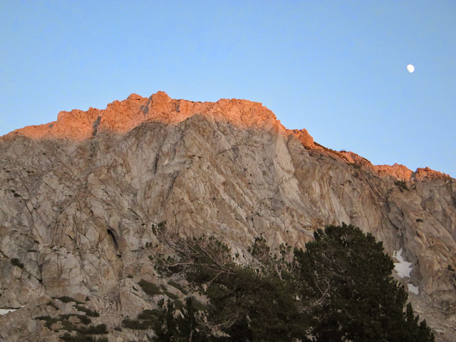
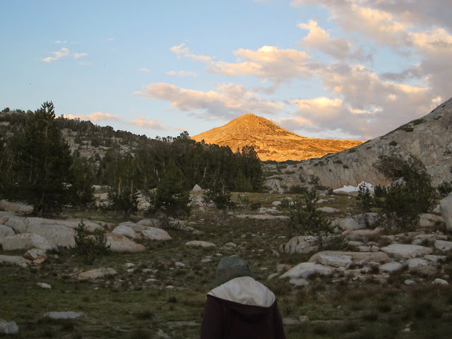
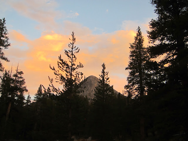
Fletcher peak and the moon in the setting sun from the backpacker
High Sierra Camp tent cabins
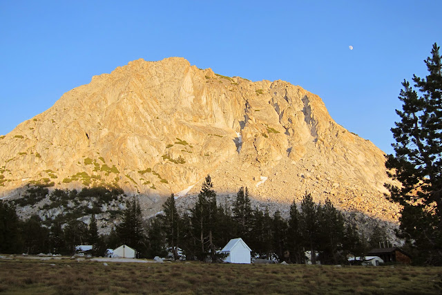
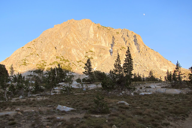
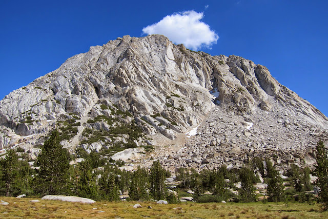
Vogelsang Peak at Sunset
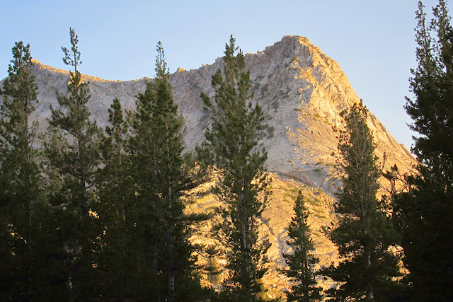
Alpen glow off Fletcher Peak
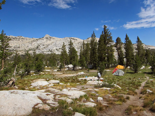
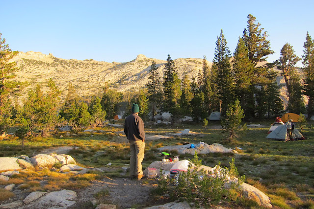
Our tents in the foreground
During day hike to Vogelsang Peak
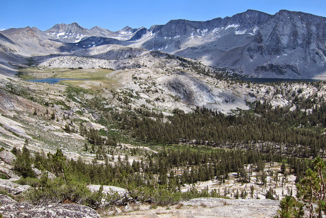
Emeric Lake on the left. Towards the left of center in the horizon are Half Dome and Clouds' Rest
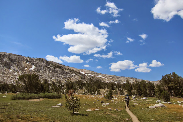
Clouds shaped like wings of a flying gull
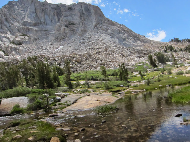
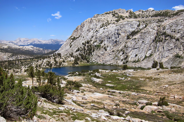
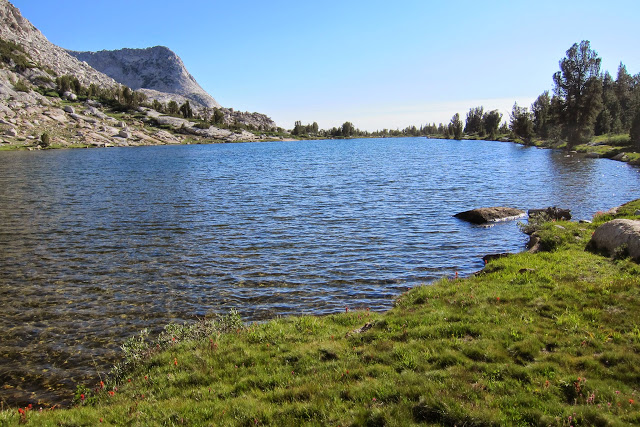
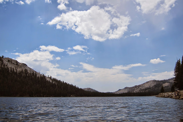
Vogelsang Lake

Looking down at Vogelsang Lake from the trail to the peak
Aborted attempt to scale the peak
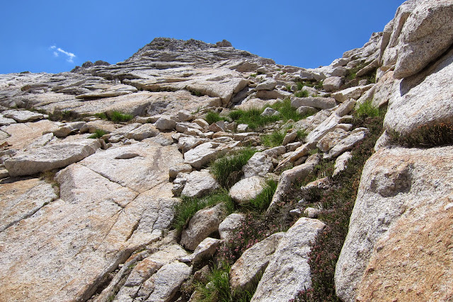
Here we are at an elevation of just over 11,000 ft
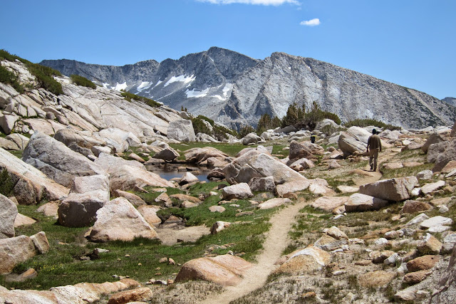
Sarbajit, on the way down
Vogelsang Pass
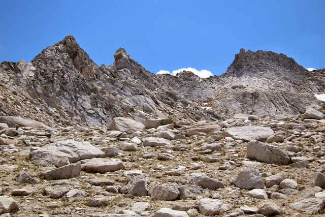
Patches of snow at higher elevation
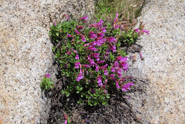
Wild Flowers were not plentiful
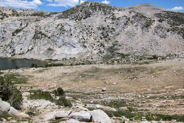
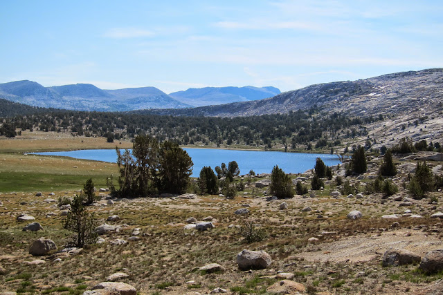
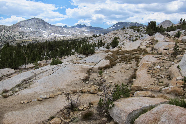
At the top of Vogelsang Pass (10,685 ft) looking down on Gallison Lake with Parson's Peak in the background
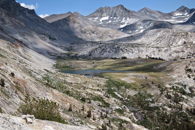
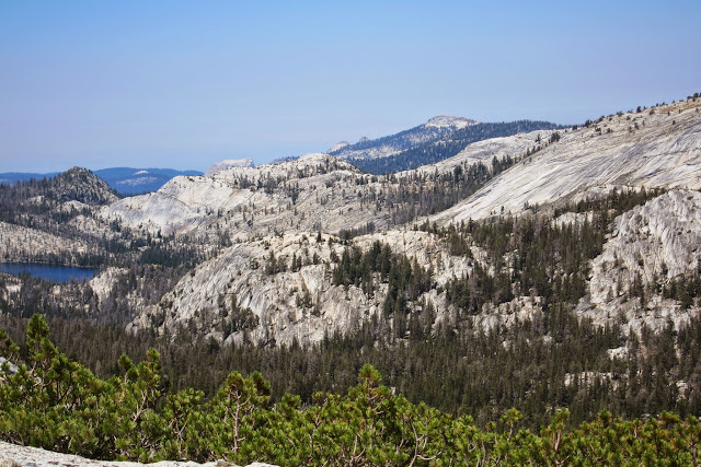
View of Cathedral Range, Bernice Lake in the distance
Heading back to camp site
Back at camp. Fletcher Peak in the afternoon
Fletcher Lake
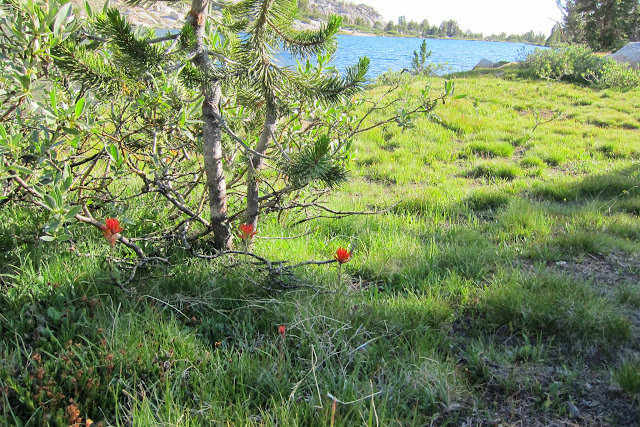
Indian Paintbrush alongside Fletcher Lake
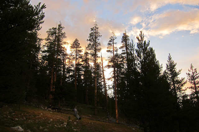
Sunset
Sunrise
Breakfast is over. Time to break camp

Starting our hike to Lyell Fork of the Tuolumne River, via the Ireland Lake Trail
Beautiful Evelyn Lake
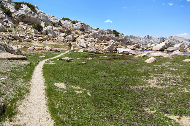
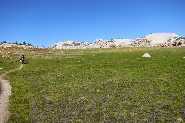
Vast meadow between the trail and Evelyn Lake
Leaving Evelyn Lake behind
Stopped for lunch
near Tarn 10,425 (yes, a lake with the altitude in its name!). The lake,
not visible here, is at the bottom of the glaciated headwall
Rest stop before tackling the steep descent
At the beginning of a more than 1000 ft descent
Very rocky downhill trail
We camped near the junction of Ireland Lake Trail and Lyell Fork. A thundersto
Sunset through White Bark Pines
Amelia Earhart Peak at 7:15 PM
Time to break camp
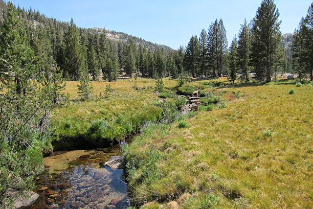
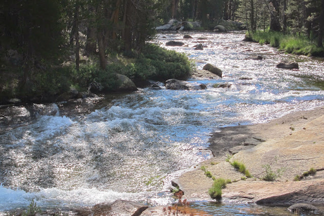
Lyell Fork flowing strong
Back on John Muir Trail
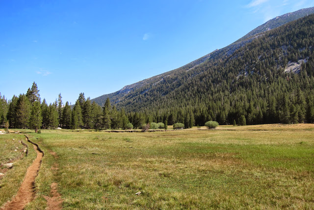
Lyell meadows with Kune Ridge to the right
Sarbajit alongside Lyell Creek
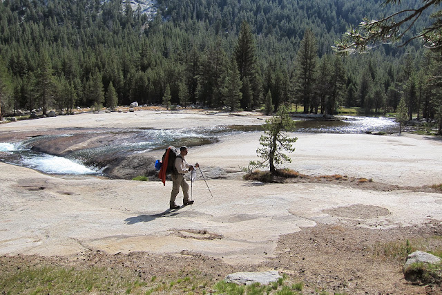
Again, this is not where one comes for solitude -- two parties can be seen ahead of us.
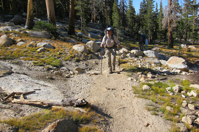
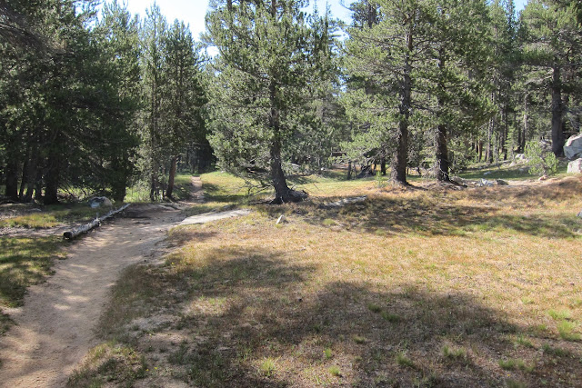
Mostly flat trail all the way back to Tuolumne Meadows
Back at the base of the "Lollypop" Loop
Sarbajit near the end of the trail
We stopped at Tenaya Lake before the drive home to the Bay Area. All good things come to an end.
*****
Labels: Bernice Lake, Cathedral Range, Emeric Lake, Evelyn Lake, Fletcher Lake, Fletcher Paek, John Muir Trail, Lake Ireland, Lyell Fork, Rafferty Creek, Vogelsang High Sierra Camp. The Lollypop Loop
![]()