Monday, April 17, 2006
California's High Desert - Arid and Awesome
Death Valley * Joshua Tree National Park
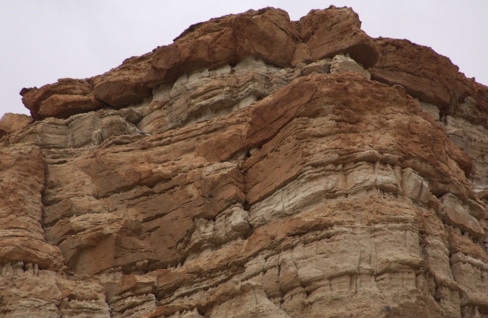 Red Rock Canyon, Hwy 14/178 to Death Valley © www.earth.edu.waseda.ac.jp
Hwy 190, Death Valley
 © rogerhe,stock.xchng
The Sierra Club's website describes it in a nutshell:
- Fifteen thousand years ago, toward the end of the last Ice Age, the lakes covering most of present-day Nevada and parts of Utah, California, Oregon, and Idaho dried up. Left behind was a vast, arid, high-elevation basin, with deep canyons and steep, north/south-trending mountain ranges, piercingly cold in winter and blisteringly hot in summer.
 ©Ian Britton,freefoto.com
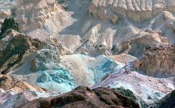

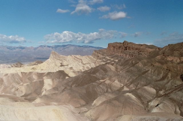
© Musafir
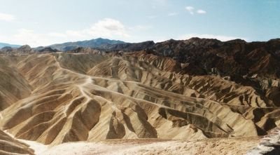
At Zabriskie Point, Death Valley


©Musafir
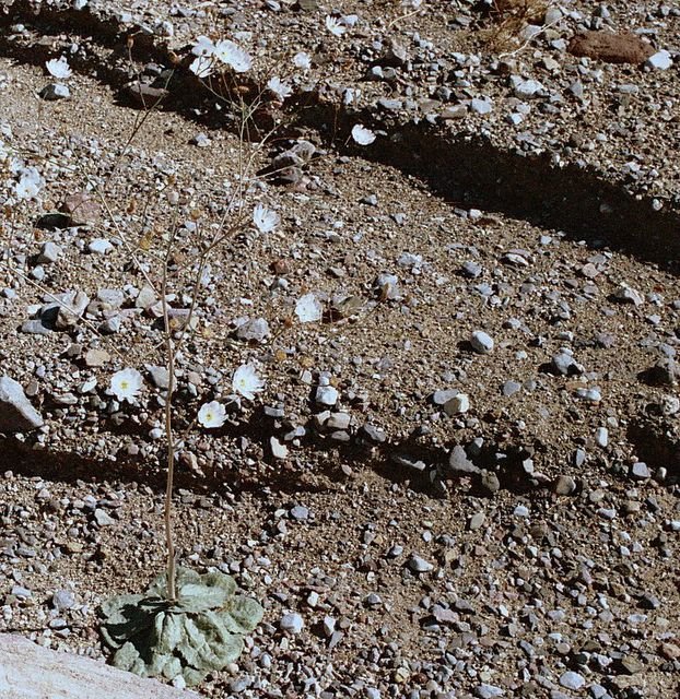
Desert Velvet near Zabriskie Point

©Musafir
©Musafir

©Musafir
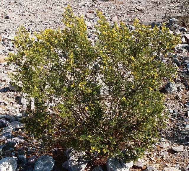
Field of Desert Gold south of Badwater

©Musafir
From Death Valley we drove on Hwy 190 and 127 to Shoshone and continued on to Baker. At Baker we took the Baker-Kelso Road and drove through Mojave National Preserve,then to Amboy on National Trails Hwy and followed Amboy Road to Twentynine Palms. The 22nd Annual Baker to Vegas 120-mile foot race was in progress when we were on the Baker-Kelso Road. It slowed us down. The race is run as a relay by 20-member teams and restricted to employees of law enforcement agencies. There were participants from many states as well as Canada and Australia. Badwater (285 ft below sea level), which we had passed on our way through Death Valley, is the starting point for the 135-mile Badwater Ultramarathon,said to be the toughest footrace in the world.
Beyond Baker the road offers no facilities (service stations,water,telephone access). So, it could be a problem if one gets stuck on that stretch. As to getting help from other motorists, we saw few cars on that day. But we decided to take that route instead of driving via Barstow because that would have meant close to 100 miles of additional driving.
©Musafir
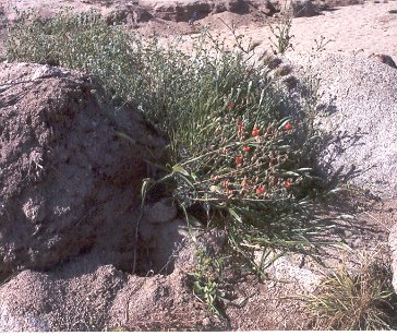
Twentynine Palms is the gateway to Joshua Tree National Park. The weather continued to be mild and we were able to do more hiking in the park. Wild flowers were not plentiful but we saw more of them in the Cottonwood Spring area of the park than in Death Valley.

Skull Rocks, Joshua Tree National Park
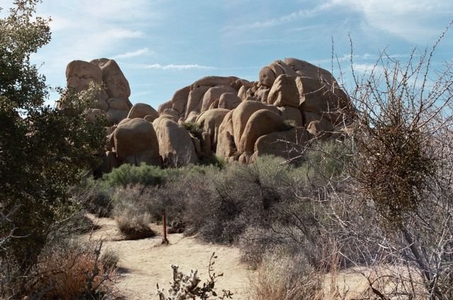
©Musafir
Joshua Tree with buds

©Arundhati Bhowmick
Ocotillo in bloom, Joshua Tree National Park
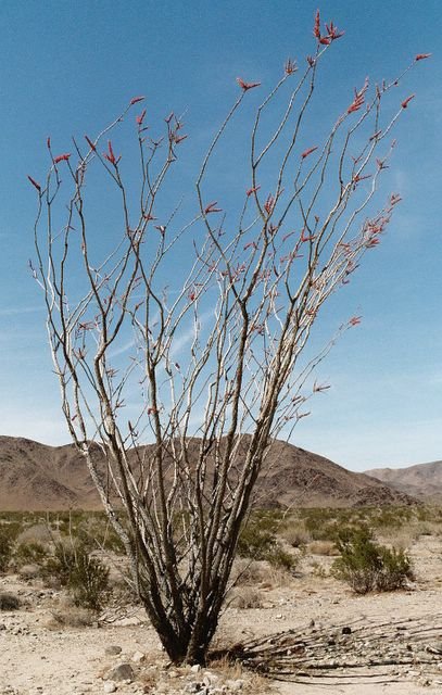
©Arundhati Bhowmick
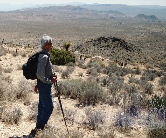
AB on Mount Ryan, Joshua Tree National Park

©Musafir
Top of Mount Ryan, Joshua Tree National Park
©Arundhati Bhowmick
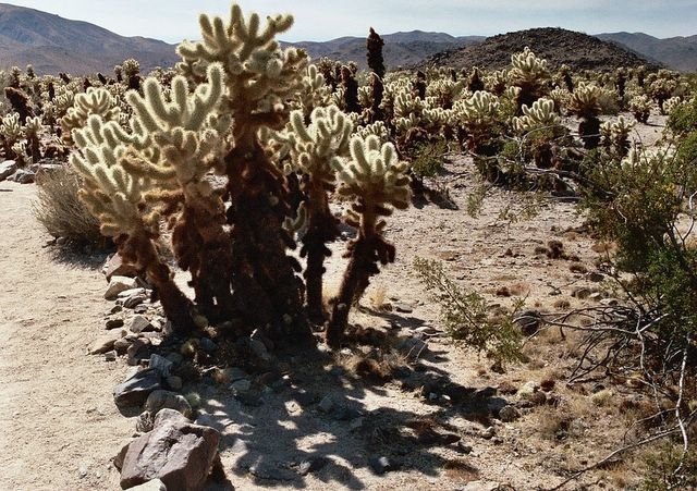
Teddybear Cholla,Joshua Tree National Park

©Musafir
Bigelow Cholla, Joshua Tree National Park
©Musafir
Desert Tortoise near Mastodon Mine, Joshua Tree National Park
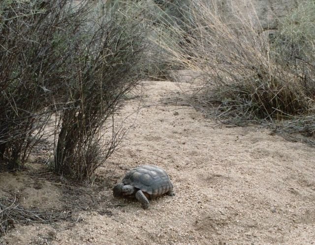
©Arundhati Bhowmick
Wild Flowers near Cottonwood Spring
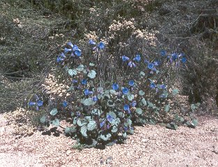 ©Arundhati Bhowmick
Wild Flowers near Cottonwood Spring
 ©Arundhati Bhowmick
Near Cottonwood Spring
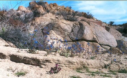
©Arundhati Bhowmick
When we left on the morning of April 3rd it felt like it would be a blistering hot day. Twentynine Palms is the home of the Marine Corps Combat Center, the world's largest U.S. Marine Corps base. Driving through Morongo Valley,San Bernardino County, it is easy to sense the pulse of the residents. According to unofficial vote totals for 2004, Bush received 226,133 votes and John Kerry received 175,533 votes. A place where I would feel like a fish out of water.
The rains hit us when we were driving past Los Angeles and stayed with us all the way home to Bay area. That was two weeks ago. The weather continues to be wet and cold; the foothills and meadows still look lush and green.
![]()